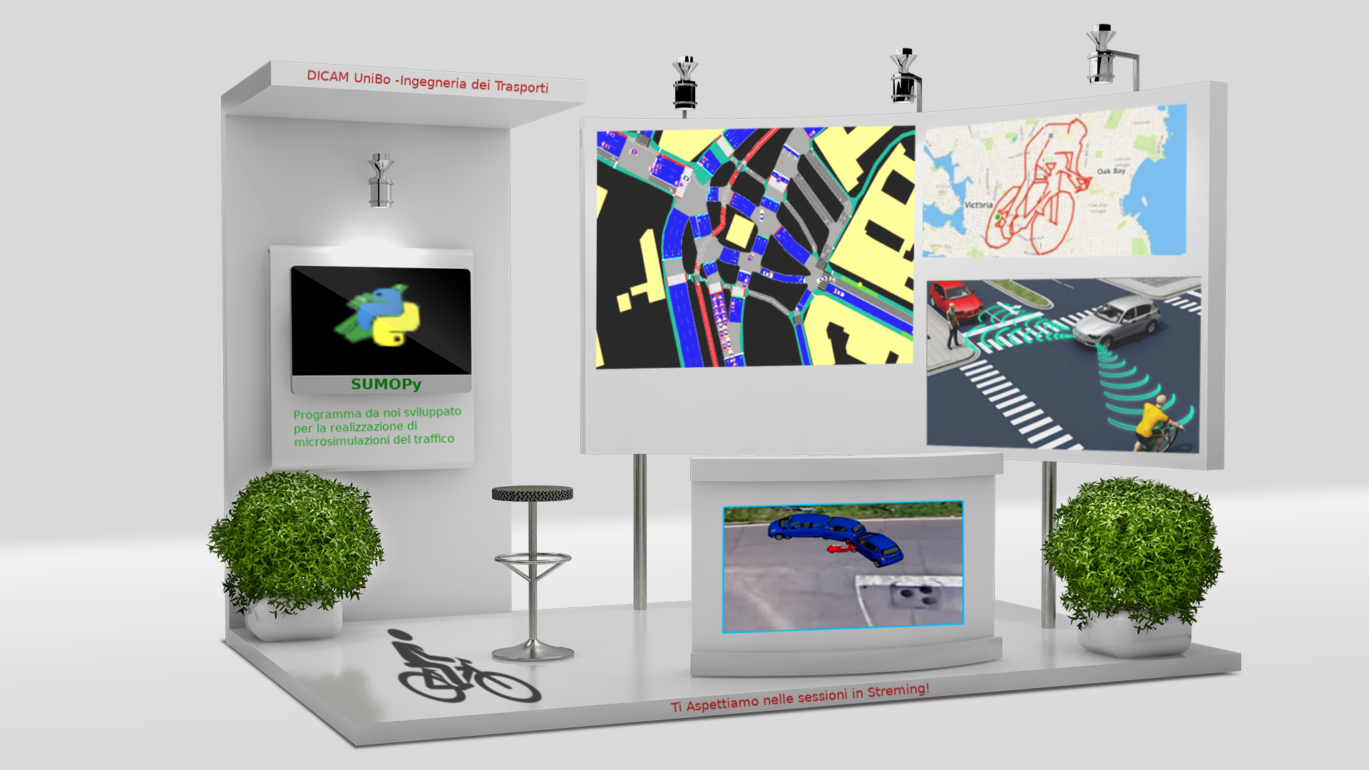


Dati GPS da smarphone permettono ai pianificatori dei trasporti di comprendere il comportamento delle persone e quindi calibrare modelli di microsimulazione del traffico che consentono di confrontare futuri scenari: macchine/bici condivise, veicoli elettrici, veicoli automatici. Mostreremo un’applicazione pratica alla città di Bologna.

The maximum allowed number of participants for this meeting has been reached.
The maximum allowed number of meetings for this Event has been reached.
Start chatting with other participants. See the list by clicking the button at the top right of this screen..